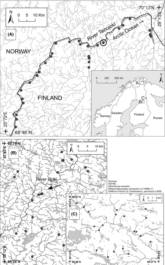
Figure 1.

Map of the three study areas (Heino et al. 2014): (A) Tenojoki, (B) Iijoki, and (C) Koutajoki. Note that all the study sites are located in tributaries, although due to the resolution of the map, some sites seem to be located in the main channel of the River Tenojoki. The circle in the uppermost map denotes two sites that are located very close to each other.
