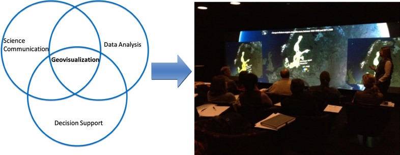
Fig. 2.
Geovisualization makes use of human perception capabilities when linking large and complex data sets to a geospatial setting. Communication and discussion of ECOSUPPORT scenarios to stakeholders have occurred at a number of occasions, both in the GeoDome and on flat screen. The photo is showing discussion and comparison of ECOSUPPORT management scenarios at the Baltadapt workshop, Norrköping 2012

