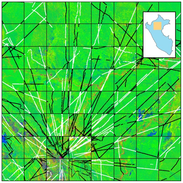
Figure 1. Fractional cover of photosynthetic vegetation (PV; green), non-photosynthetic vegetation (NPV; blue), and bare substrate (S; red) of our focal study region in Northern Peru.

The inset shows the location of the focal area within Peru. The region spans 16 million ha of ecological heterogeneity within the Marañon and Ucayali Watersheds. For carbon modeling purposes, airborne LiDAR data from CAO were divided using a checkerboard configuration, with 694,243 ha of calibration data (white) and 669,943 ha of validation data (black).
