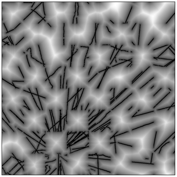
Figure 3. A distance transform map of the LiDAR-based carbon density calibration data used to evaluate the performance of the stratification and Random Forest models with increasing distance from aircraft observations.

White areas indicate the greater distance from the calibration LiDAR flightlines in black.
