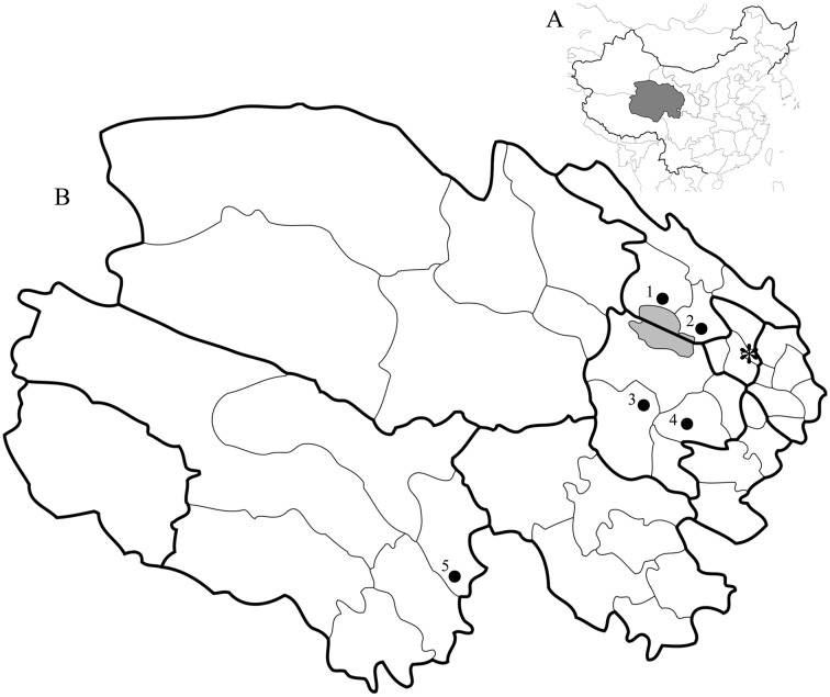
Fig. 1.
Study sites. A: Map of China with Qinghai province marked as dark area. B: Map of Qinghai province. Dark area in Map B indicates the Qinghai Lake. Bold line represents the district border, and thin line represents the county border. 1: Gangcha county, 2: Haiyan county, 3: Xinghai county (Heka town), 4: Guinan county, 5: Chengduo county, *: Xining (the provincial capital).

