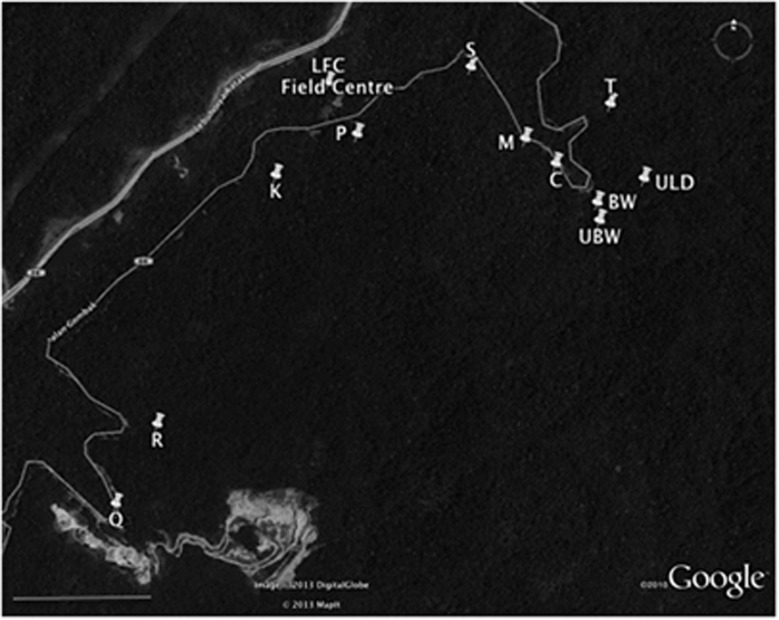
Figure 1.
Map showing the 12 sites used for collections and the University of Malaya Field Studies Centre. All sites represent distinct populations that lie along or near to the small Gombak road, Jalan Gombak, which runs through mountainous rainforest. To the upper left is a major motorway in the valley. In addition to the rainforest, the map also shows the local quarry (bottom centre left). A compass is shown for orientation and the bar on the bottom left indicates a scale of 1000 m. Google Earth Image © 2013 DigitalGlobe © 2013 MapIt.

