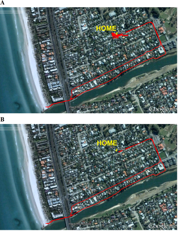
Figure 1.

Example of the raw and analysed GPS data for a participant uploaded into Google Earth. For this trial analysis consisted of removing the indoor data, as evidenced in (A) by the noisy oscillations - indicative of poor indoor GPS signal - about the HOME position marked by the yellow pin. These images were uploaded into Google Earth by a custom software program which was used to trim the files. The velocity and location of movement was assessed in this program using the GPS data, and subjective decisions about the mode of activity (physically active, passive transport) were made based on these data. In this example the velocity of movement never exceeded 5 km/hr, and the location was predominantly on a walking track identified using Google Earth, and therefore it was deemed to be outdoor physical activity (B).
