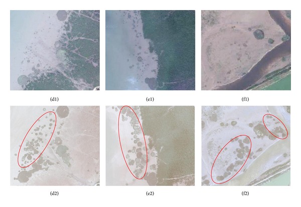
Figure 5.

(d1)–(f1) are maps obtained from Google Earth in 2009 of the three regions of northwest of Dandou Sea, southeast of Dandou Sea and Shatian port. (d2)–(f2) are the same regions corresponding to (d1)–(f1) obtained from the UVA imagery with the expanded S. alterniflora denoted by red circle.
