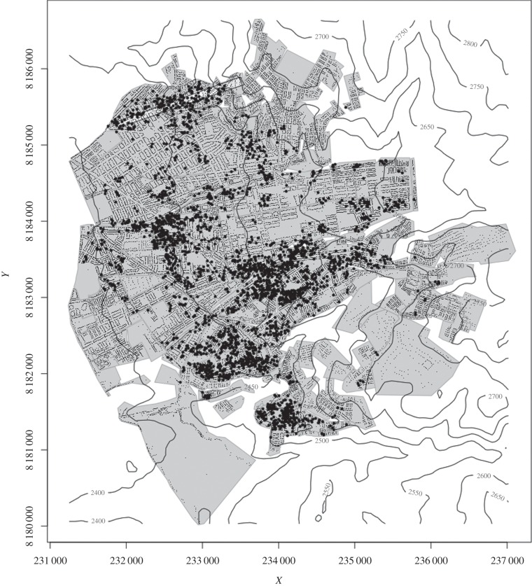
Figure 1.
A map of the district of Mariano Melgar and the neighbouring district of Paucarpata, Arequipa, Peru. The study transect is shown as the lightly shaded rectangle towards the top of the map. Contour lines (50 m) represent the elevation. Houses surveyed for the presence of Triatoma infestans are shown as small black dots. Households in which insects were detected are represented in larger black circles; the coordinates of these have been spatially jittered to mask the exact location of infestations.

