Fig. 1.

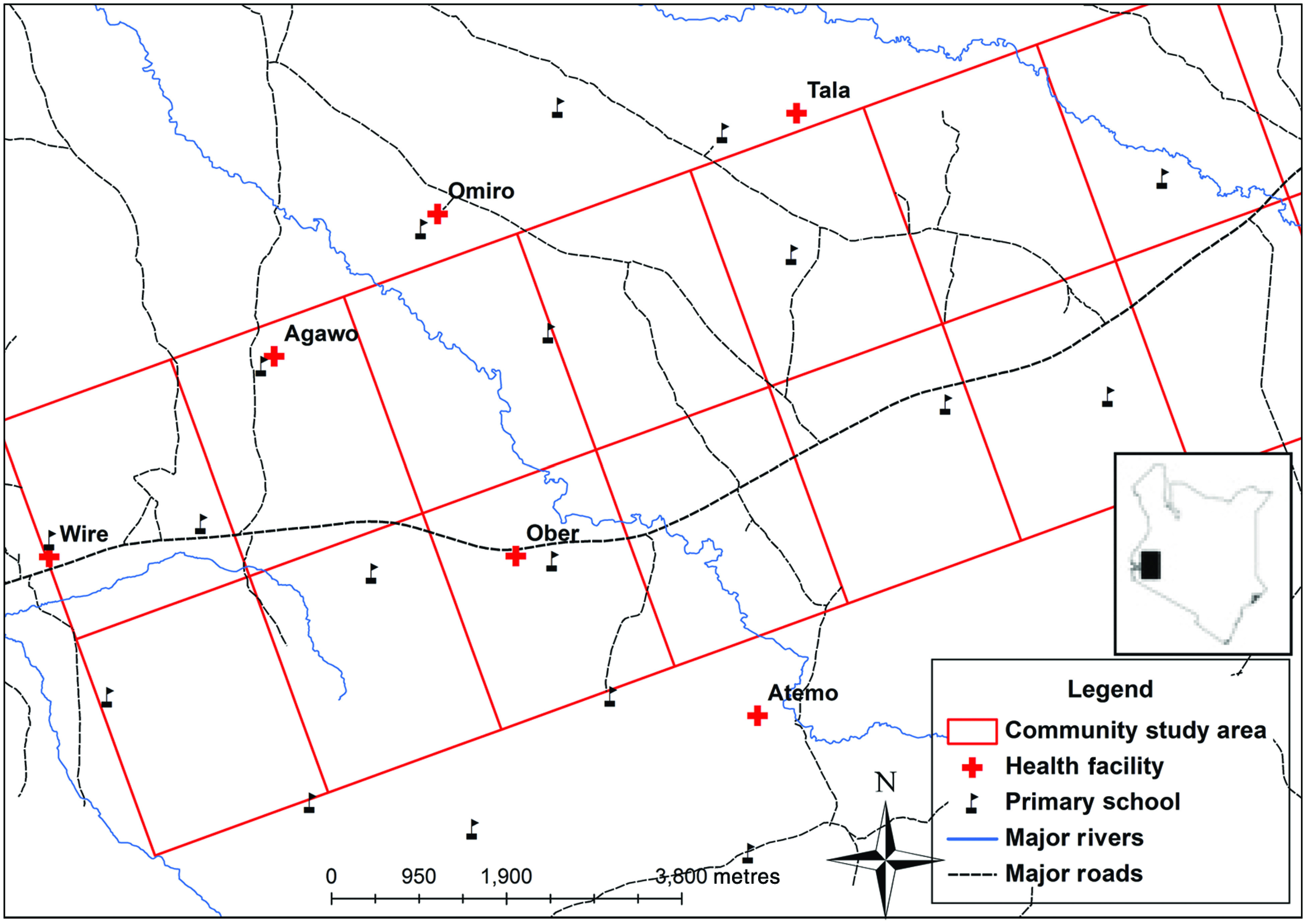
[colour online]. Map of the study area, Rachuonyo South, Kenya (2011–2012), showing the main roads (dashed lines), rivers (solid lines), location of schools (flags) and health facilities (crosses).

[colour online]. Map of the study area, Rachuonyo South, Kenya (2011–2012), showing the main roads (dashed lines), rivers (solid lines), location of schools (flags) and health facilities (crosses).