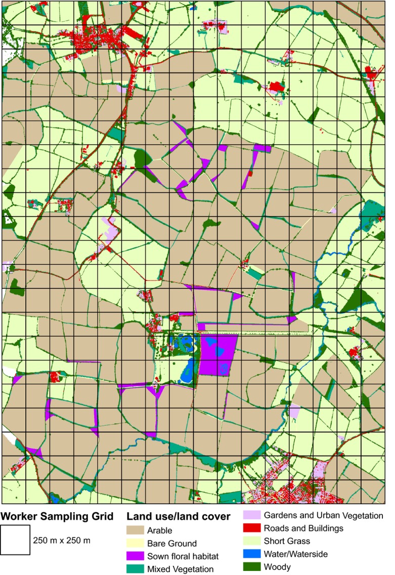
Fig. 1.

Map of the study landscape in Buckinghamshire, Southern England, UK, showing aggregate land use land cover classes derived from remote sensing data.

Map of the study landscape in Buckinghamshire, Southern England, UK, showing aggregate land use land cover classes derived from remote sensing data.