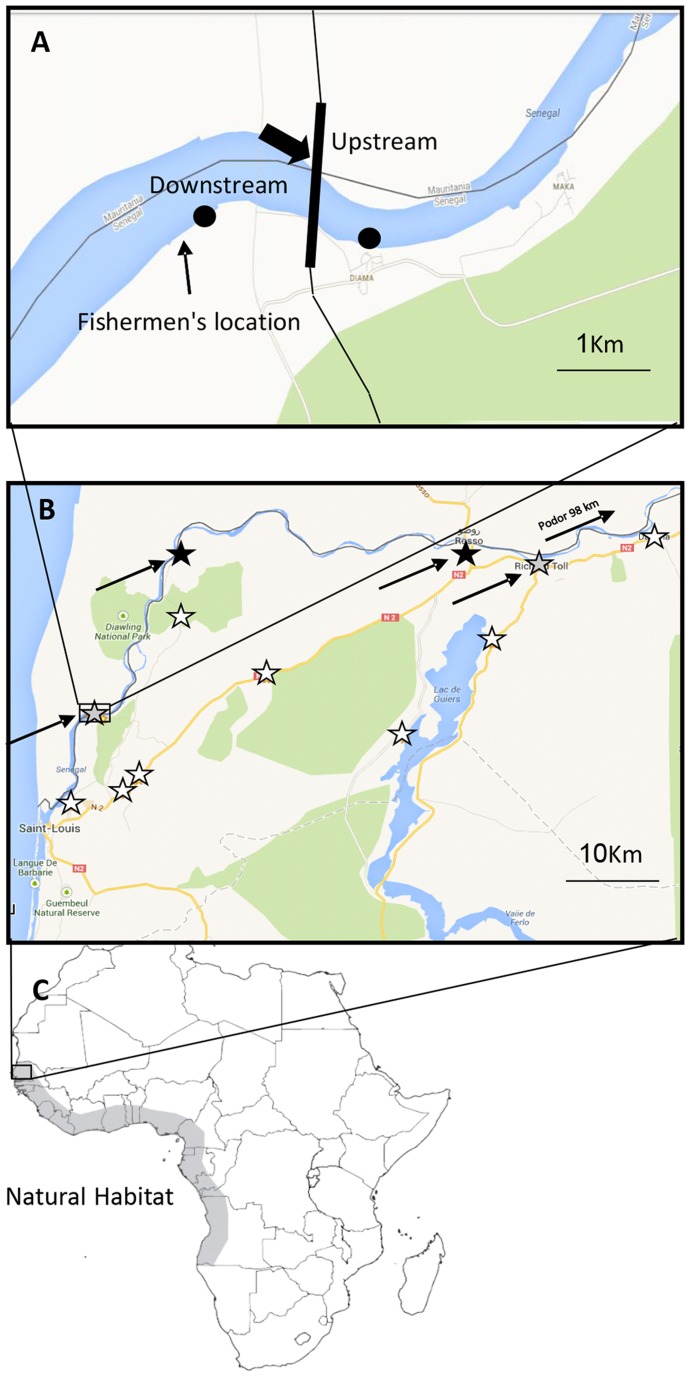
Figure 1. Project locations.
Map of the Diama Dam area. (A) The Diama Dam (marked with a black arrow). The area in which the prawns were caught is marked “Fisherman's location”. Map of the Senegal River basin. (B). The areas of the survey are marked with stars; black stars represent interview locations while white stars represent trapping locations. Grey stars denote sites where both a trap was placed and an interview was conducted. (C) Map of Africa. The natural distribution area of M. vollenhovenii along the west coast of Africa is marked in gray.

