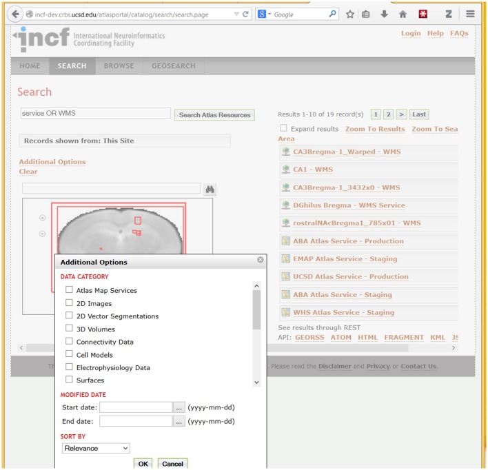
Figure 7.
A fragment of the DAI portal interface showing search results and types of searchable data. The example search for “Service OR WMS” (in Search Atlas Resources entry) returns metadata records that contain these terms. WMS refers to the OpenGIS Web Map Service standard (http://www.opengeospatial.org/standards/wms), which is used by the UCSD Cell Centered DataBase (UCSD Hub) to provide online access to large spatially-registered 2D images; thus all images stored using this method are returned in this search. Spatial extents of the found resources, in brain coordinates, are shown as red rectangles over a coronal slice. Users can optionally search for specific atlas data types (under “Data Category”) illustrated in the pop-up box in the lower left corner. In addition to search, the portal supports metadata browsing (under the Browse tab) and search of resources based on geographic location of the lab that published a resource (under the GeoSearch tab).

