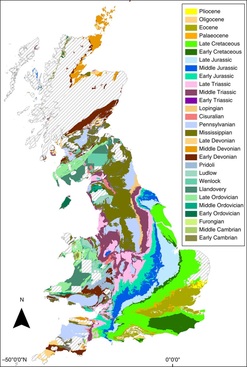
Figure 1. The Phanerozoic record of Great Britain.
Geological map of British Phanerozoic sedimentary rock outcrop at the Epoch level (British Geological Survey DiGMapgb-50 1:50,000). Hashed areas represent extent of igneous and metamorphic rocks or areas that have not been digitally mapped. There are no data recorded from the Guadalupian or Miocene.

