
Fig. 1.
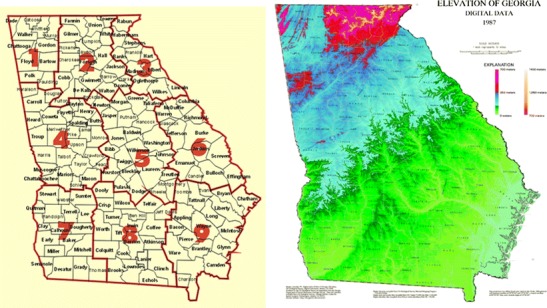
a Georgia state map including county (names) and climate division (numerical) boundaries and b digital elevation map highlighting the regions that correspond to mountains (red, pink), piedmont (dark blue), coastal plain (blue to green interface), and swamp regions (yellow to light green). Maps (public domain access) courtesy of a NCDC Climate Prediction Center and b U.S. Geological Society