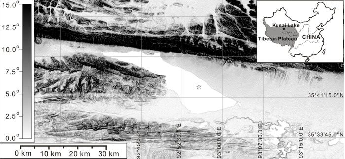
Figure 1. A location map of Kusai Lake.
The blackness scale in degree indicates slope shade of the Kusai Lake catchment (the map did not show all the catchment). The map was visualized and modified by using the software Global Mapper v10.02, based on the digital elevation maps from the Shuttle Radar Topography Mission (http://srtm.csi.cgiar.org/)22. The coring site was indicated by the asterisk on the map.

