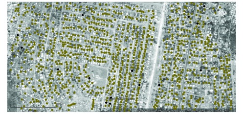
Fig. 1.
Zoomed Google Earth image of the sampling frame, Lilongwe, Malawi, 2010
Note: The random sample of households to be surveyed are indicated by black dots. The complete list of households is indicated by green dots. The full length of the scale bar – which formed part of the image downloaded from Google Earth – represents a distance of 288 m.
Map data: Google, digital globe.

