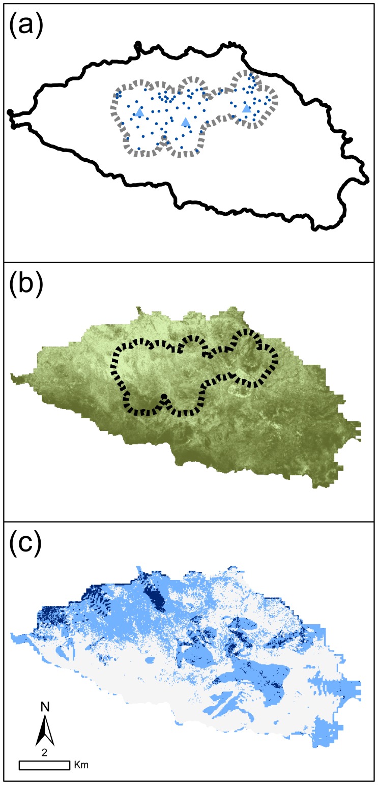
Figure 2. Study areas on Española Island.
(A): gray dashed line is “tortoise zone” or maximum extent of tortoises observed on the island since the repatriation program was initiated; black circles are 2010 survey plot locations for tortoises, cactus, and woody plants; gray triangles are tortoise introduction sites (West: Tunas, central: Cacos, East: Gardner). Woody plant cover on Española Island (B; darker shades indicate higher percent woody plant cover), classified using cloud-free Quickbird satellite imagery (December 29, 2006, 0.6 meters resolution) into areas with and without woody vegetation using a supervised classification calibrated with plot woody plant density estimates (IDRISI Andes 5.0) (percent cover is the percent vegetated cells per 24m x 24m area). Potentially highly suitable cactus restoration areas (C) with low slopes (<2.06 degrees, bottom quartile of available slopes) and low woody plant cover (<52% cover woody plants, bottom quartile of available woody plant cover); black areas have both low slopes and low woody cover, gray areas have either low slope or low woody cover.

