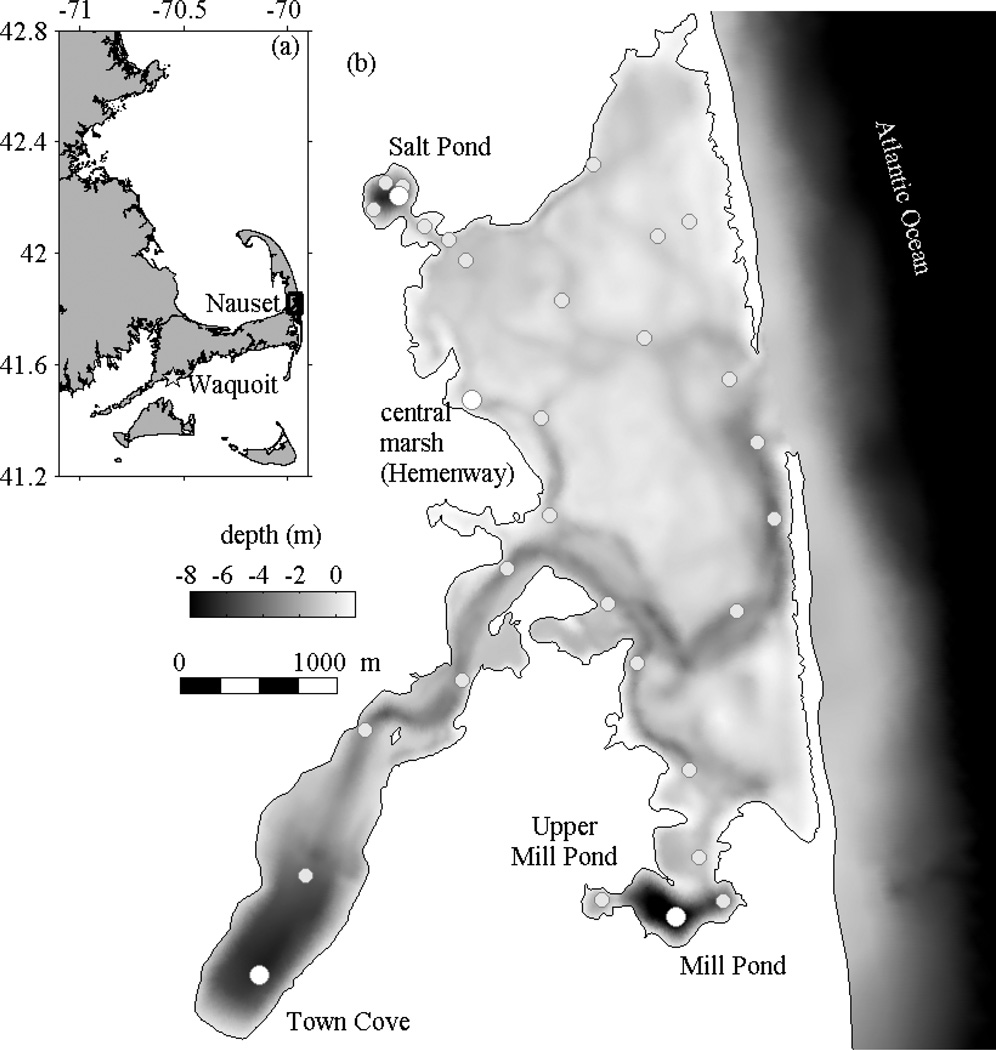
Figure 1.
Location map and bathymetry of Nauset estuary. (a) The box outlines Nauset on Cape Cod; the star marks the location of Waquoit Bay. (b) Station locations for the weekly surveys are shown on the bathymetry, highlighting selected stations at the deepest points in Salt Pond, Town Cove, and Mill Pond, and the Hemenway station in the central marsh.

