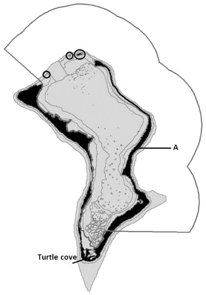
Figure 13.
Map of Diego Garcia atoll. The military facility is on the western arm. Gray line shows the Ramsar site, which encompasses most of the lagoon, extending seaward on the eastern side. The eastern arm south approximately to the line where the Ramsar boundary intersects the coast is a ‘Nature Reserve’ which covers land only. From the top of the eastern arm to the line marked ‘A’, plus the three circled islets in the mouth of the atoll, are ‘Strict Nature Reserves’, which each cover land plus the sea area extending out 200 m from shore.

