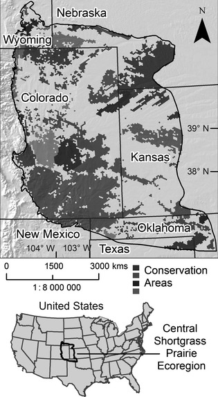
Figure 2.

A portfolio of conservation areas resulting from an ecoregional assessment in the Central Shortgrass Prairie Ecoregion of the United States (Neely et al. 2006). An early generation version of Marxan, a decision support system known as SPOT or Spatial Portfolio Optimization Tool, was used in conjunction with GIS, to select the conservation areas in this portfolio based on the occurrence of various conservation targets (elements of biodiversity) in the ecoregion and the quantitative goals set for these targets.
