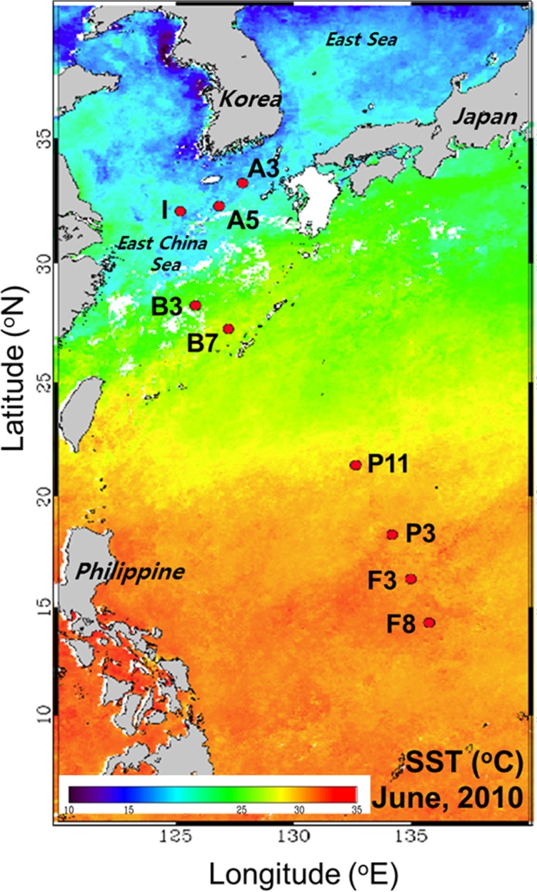
Figure 1. Map of sampling stations in the NW Pacific Ocean.

The base map is a composite image of sea surface temperature from 1 to 5 June 2010, obtained from SeaWiFS.

The base map is a composite image of sea surface temperature from 1 to 5 June 2010, obtained from SeaWiFS.