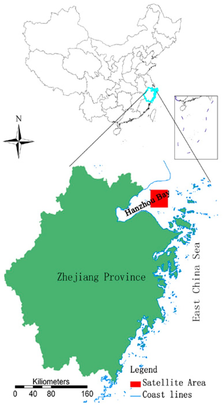
Figure 1.
The upper image indicates the location of Zhejiang Province in China, the blue line is the boundary of Zhejiang which is in the southeast of China near the East China Sea. The bottom image is a zoomed in map of Zhejiang Province, where the red square (121°26′ E, 30°41′ N; 121°49′ E, 30°21′ N) is the satellite data area, near Hangzhou Bay in Zhejiang Province.

