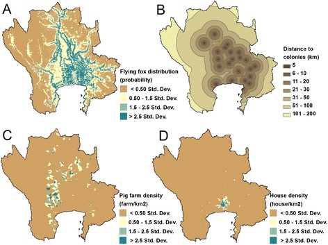
Figure 6.

Factors used in mapping NiV risk. Maps of 4 factors used for analyzing the risk map of NiV in the central plain of Thailand: flying fox distribution map (A); distance to the flying foxes colonies (B); pig farm density at the sub-district level (C); house density at the sub-district level (D).
