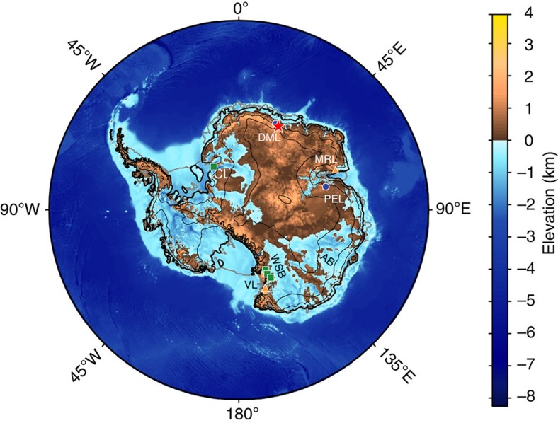
Figure 1. Antarctic bedrock elevation.
Antarctic bedrock elevation with grounded ice sheet boundary and attached, floating ice shelves. Thick black line shows grounded ice sheet boundary and thick grey lines show floating ice shelves. Thin black lines show ice sheet elevation (1,000 m contour interval70). Location of exposure ages reported here is shown with a red star and all other Area 1 sites with blue circles. Area 2 and 3 sites are shown with green squares and orange triangles, respectively. CL is Coats Land, DML is Droning Maud Land and MRL is Mac. Robertson Land, PEL is Princess Elizabeth Land and VL is Victoria Land. AB and WSB refer to the Aurora Basin and Wilkes Subglacial Basin, respectively.

