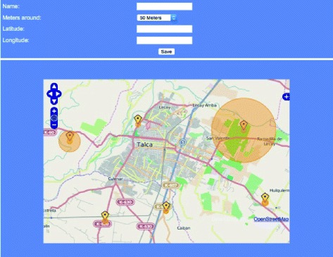
Figure 2.

Web client: The user interface of the web server has been constructed by integrating OpenLayers and OpenStreeMap such that users can visualize the various alerts that have been included in the database. New alerts can be created by georeferencing through the map and mouse interaction, and relevant information can be added to the alert. (Labels translated from Spanish).
