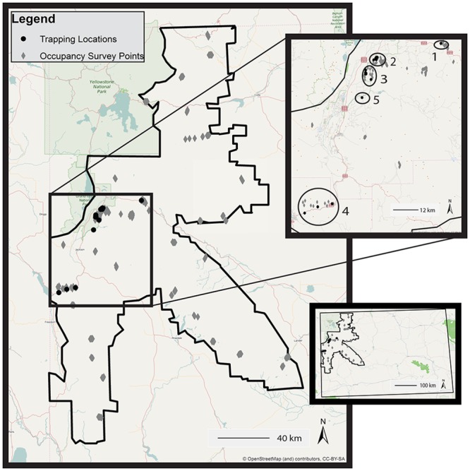
Fig 1. Study area in the Greater Yellowstone Ecosystem.

The study area is outlined in black. I spent the majority of time in the field trapping and radio tracking Clark’s nutcrackers, and hiking to and conducting occupancy surveys. The top inset map delineates the five trapping locations. The bottom inset map depicts the study area within the state of Wyoming. (OpenStreetMap basemap: http://www.openstreetmap.org/copyright [32].)
