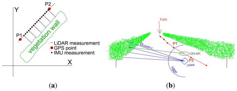
Figure 2.
Scheme of sensor measurements in an orchard. The GPS antenna phase center (dark green lines) and LiDAR (blue lines) are separated by a distance. As GPS provides global coordinates of the measurements, the canopy point cloud must be referred to the GPS antenna phase center. (a) Measurements in 2D; (b) measurements in 3D.

