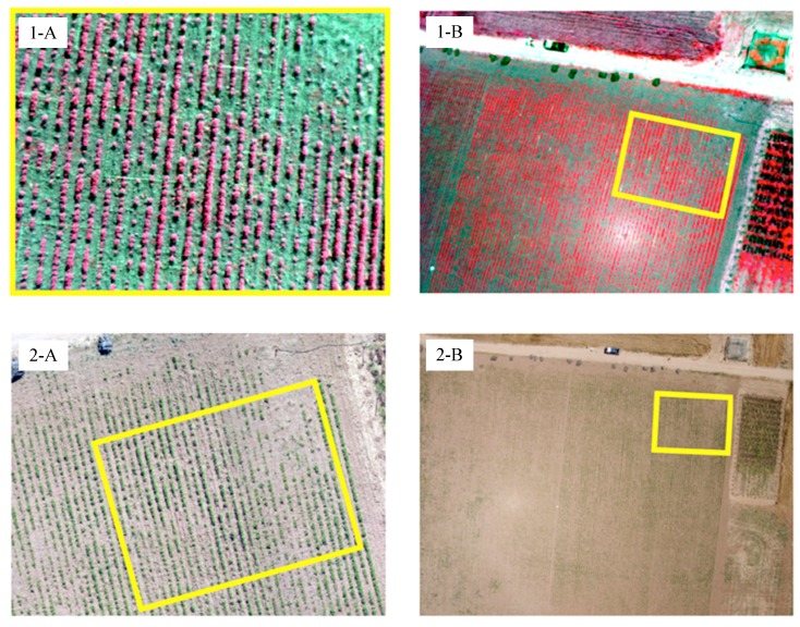
Figure 6.
Individual UAV images collected with the multispectral (1) and the visible-light (2) cameras at: 40 m (A); and 100 m (B) altitude. The yellow squares serve to compare the area covered by the images from each camera at both flight altitudes. The sunlight effect (light spot) observed in 1-B and 2-B were minimized after applying vegetation indices (see Section 2.3).

