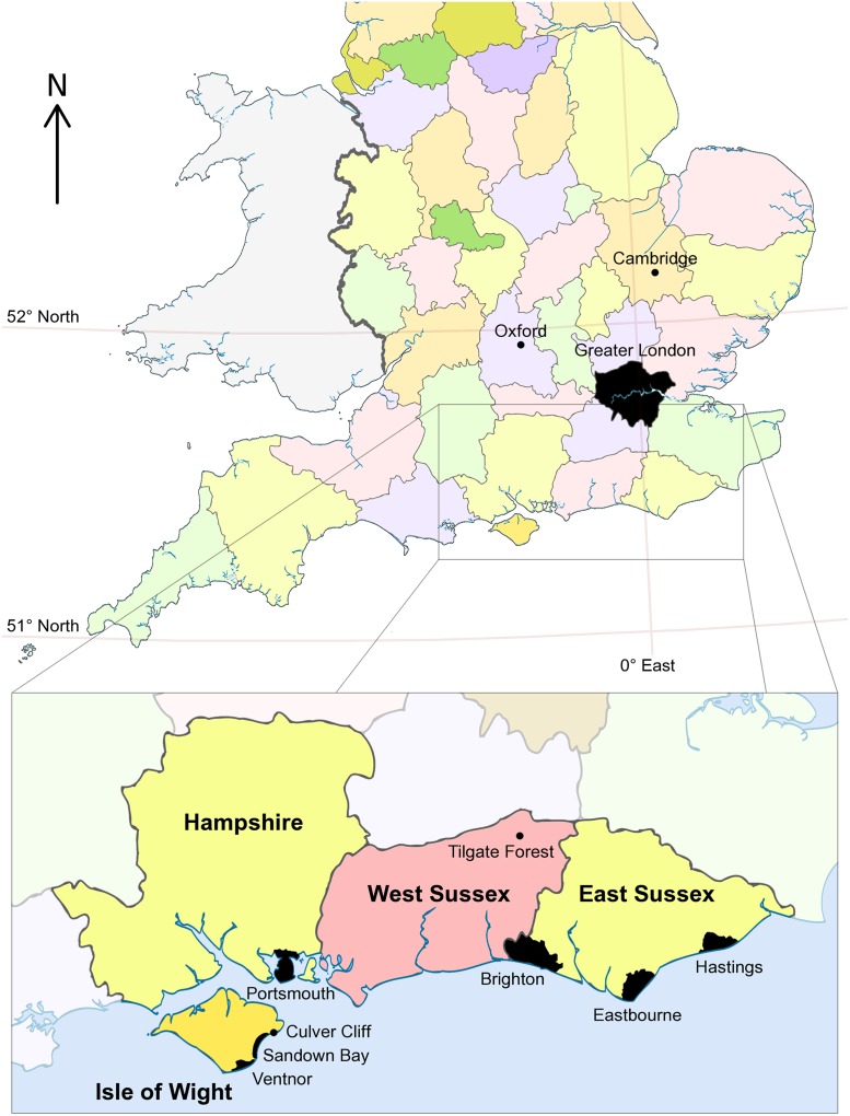
Fig 1. Map showing England and Wales, with boundaries for English counties.
The magnified inset shows the Isle of Wight and East and West Sussex in more detail, marking the positions of selected major towns/cities and the fossil localities mentioned in the main text. Based on "English ceremonial counties 1998" by Dr. Greg (see the Wikipedia website at http://en.wikipedia.org/wiki/File:English_ceremonial_counties_1998.svg.: accessed 1st August 2014): CC By-SA 3.0.

