
Fig 38. Location map.
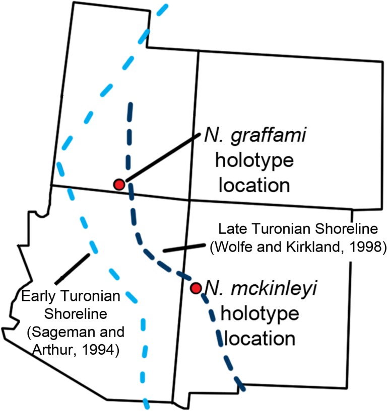
The locations of the quarries producing UMNH VP16420 and MSM P2117 with US states overlaid. This is in relation to the estimated Turonian shoreline (light blue shoreline based on Sageman and Arthur [58]; dark blue shoreline based on Wolfe and Kirkland [27]). The shoreline reconstructed by Sageman and Arthur [58] is based on the early Turonian and that by Wolfe and Kirkland [27] is for the late Turonian demonstrating a regression of the Western Interior Seaway during the Turonian. This shows that during the early Turonian UMNH VP16420 was offshore.