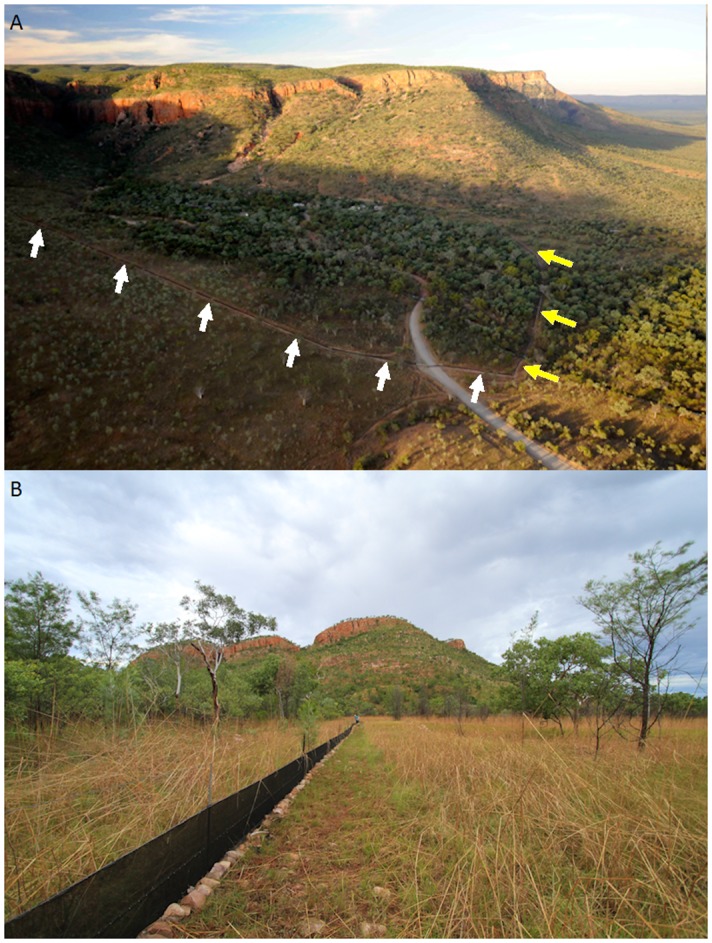
Fig 2.

(A) Aerial view from the southwest of Emma Gorge, showing the 1.7 km-long trapline (arrows) crossing the dirt road into Emma Resort. Note that animals moving across the west wing (white arrows) of the trapline towards the gorge would be moving from drier savannah woodland (brownish) towards wetter riparian areas (greenish), while animals crossing the east wing (yellow arrows) towards the gorge would be moving from one riparian area to another. (B) Ground view of the west wing of the Emma Gorge trapline, showing the fence in savannah woodland in the foreground and the escarpment in the background.
