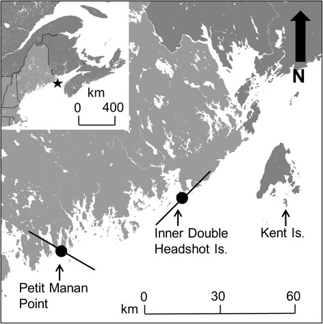
Fig. 1.

Map of study area. White space represents water and light and dark grey areas represent terrestrial land cover in the USA and Canada, respectively. Solid black circles indicate the locations of automated receiving stations along the coast and solid black lines represent Yagi antenna orientations at each station and the estimated horizontal detection distance from the tower (i.e., 15 km; see Additional file 1: Estimate of detection range). Inset represents map of north-eastern USA and Canada. The solid black lines indicate province and state boundaries. The black star indicates the location of the study area presented in the larger map. The black arrow in the top right corner of the larger map represents the direction of geographic north
