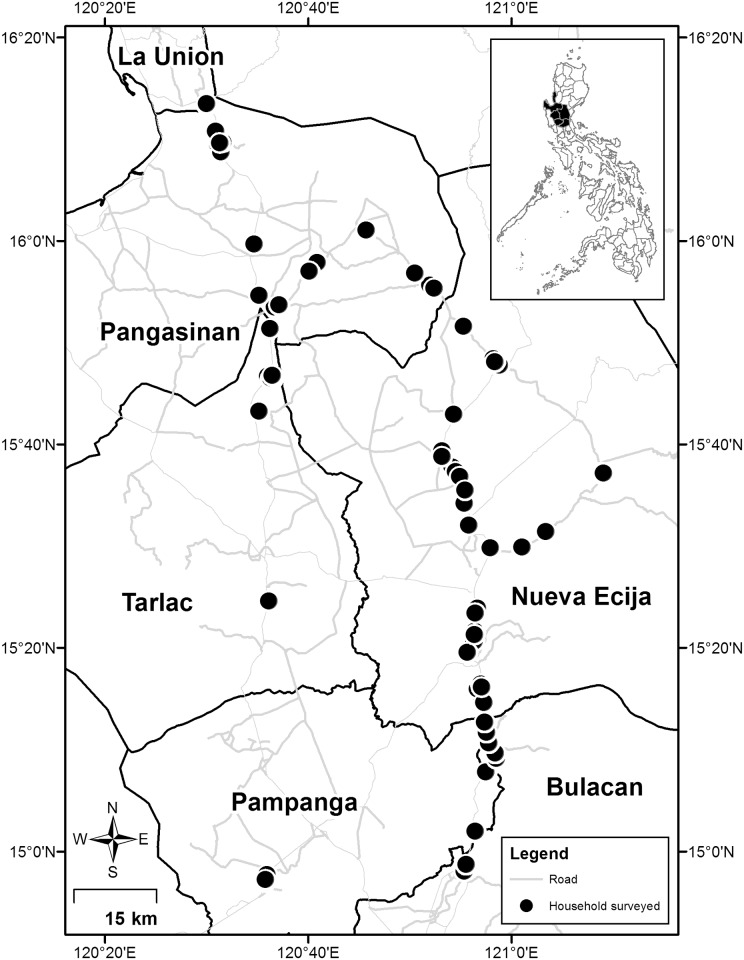
Fig 1. The study area showing location of farm households surveyed in 2011–12.
The administrative map is based on the Global Administrative Areas database (GADM: http://www.gadm.org) and the road network from OpenStreetMap (http://download.geofabrik.de/asia/philippines.html).

