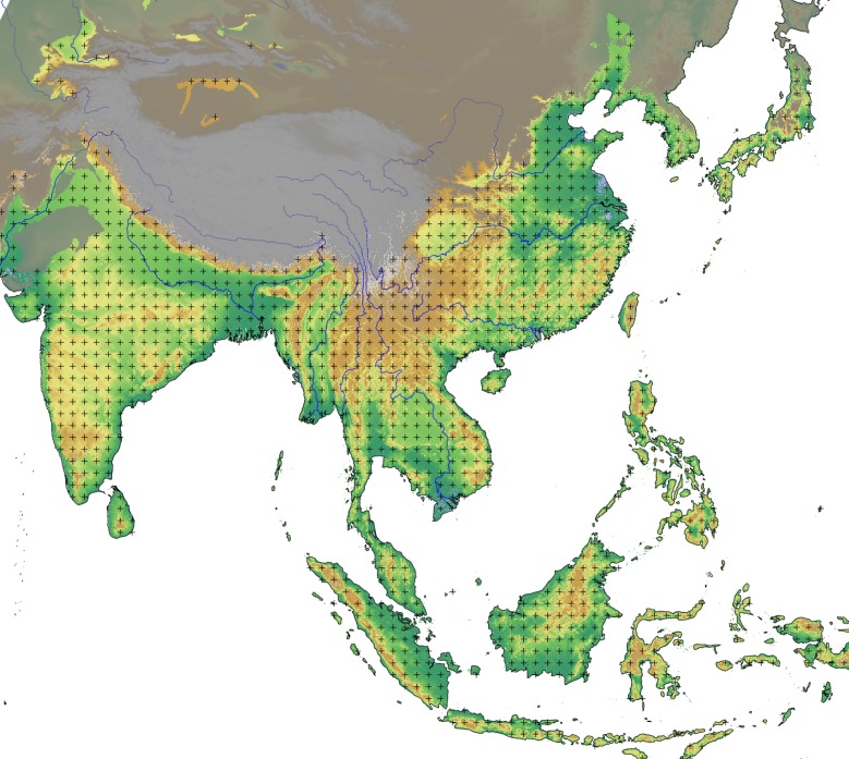
Fig 4. Map of the domain showing the gridpoints that were used in the unconstrained search for the best dispersal origin.
The region not included in the domain is grey-shaded. For reference, the background layer includes elevation data (source: USGS Shuttle Radar Topography Mission data), as well as major rivers (source: ESRI World Major Rivers).

