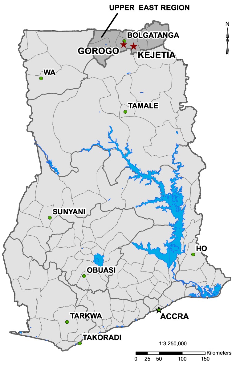
Figure 1.
Map of Ghana indicating Kejetia and Gorogo (two red stars), the two research communities, and the municipal capital, Bolgatanga (green circle), in the Upper East Region. (Map produced from data provided by the National Renewable Energy Laboratory [NREL], by Mozhgon Rajaee, June 2012 [26]).

