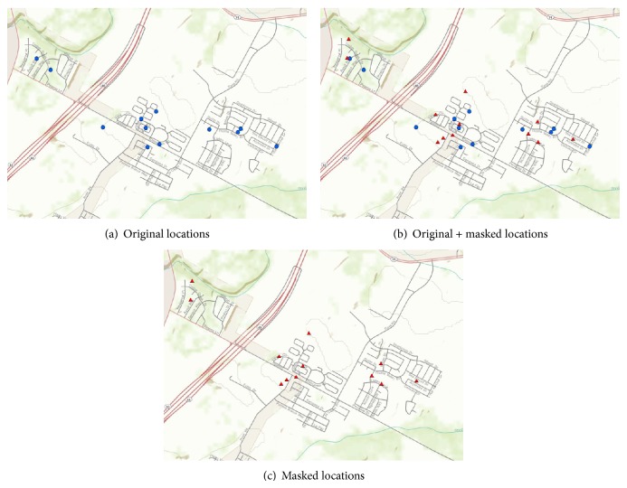
Figure 4.
Conceptual illustration of geographic masking. A set of original locations (a) is created using address geocoding or field data collection using GPS. These locations correspond very closely to the residences of interest, although a certain amount of error might be present. For each location, a masked representation is created (b) by displacing the original location using one of several algorithms. Most algorithms include a certain degree of randomness in the displacement. The original locations are removed from the dataset, resulting in a set of masked locations (c) for publication and distribution purposes. The set of masked locations has the same number of observations as the set of original locations.

