Fig. 2.

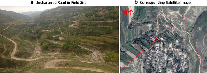
Example of unchartered road and corresponding satellite map. Source: own photograph from field survey; 2014 map data from Google Inc., CNES/Astrium. Dotted red lines in b indicating perspective of photographer

Example of unchartered road and corresponding satellite map. Source: own photograph from field survey; 2014 map data from Google Inc., CNES/Astrium. Dotted red lines in b indicating perspective of photographer