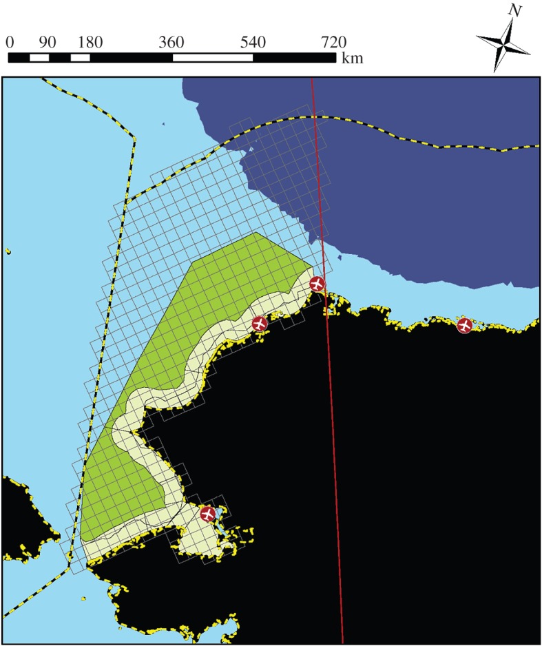
Figure 1.

Potential study area for Arctic marine mammal surveys in the eastern Chukchi Sea off the coast of northwestern Alaska, USA. The study area is discretized into 625 km2 grid cells on a Polar Stereophonic projection (grey lines), commensurate with the resolution of prospective sea-ice covariate data. The boundaries of the study area are determined by the Bering Strait to the south, the US Exclusive Economic Zone to the west and north (yellow and black dashed line), and the 156° W longitude line to the west (red line). Land is indicated in black, with Alaska-based landing strips indicated as red circles. Water depths of more than 500 m are indicated in purple, while waters less than 500 m are light blue. Also shown are the 10 nearshore (yellow shading) and two offshore (green shading) strata used in previous seal surveys in this area [27].
