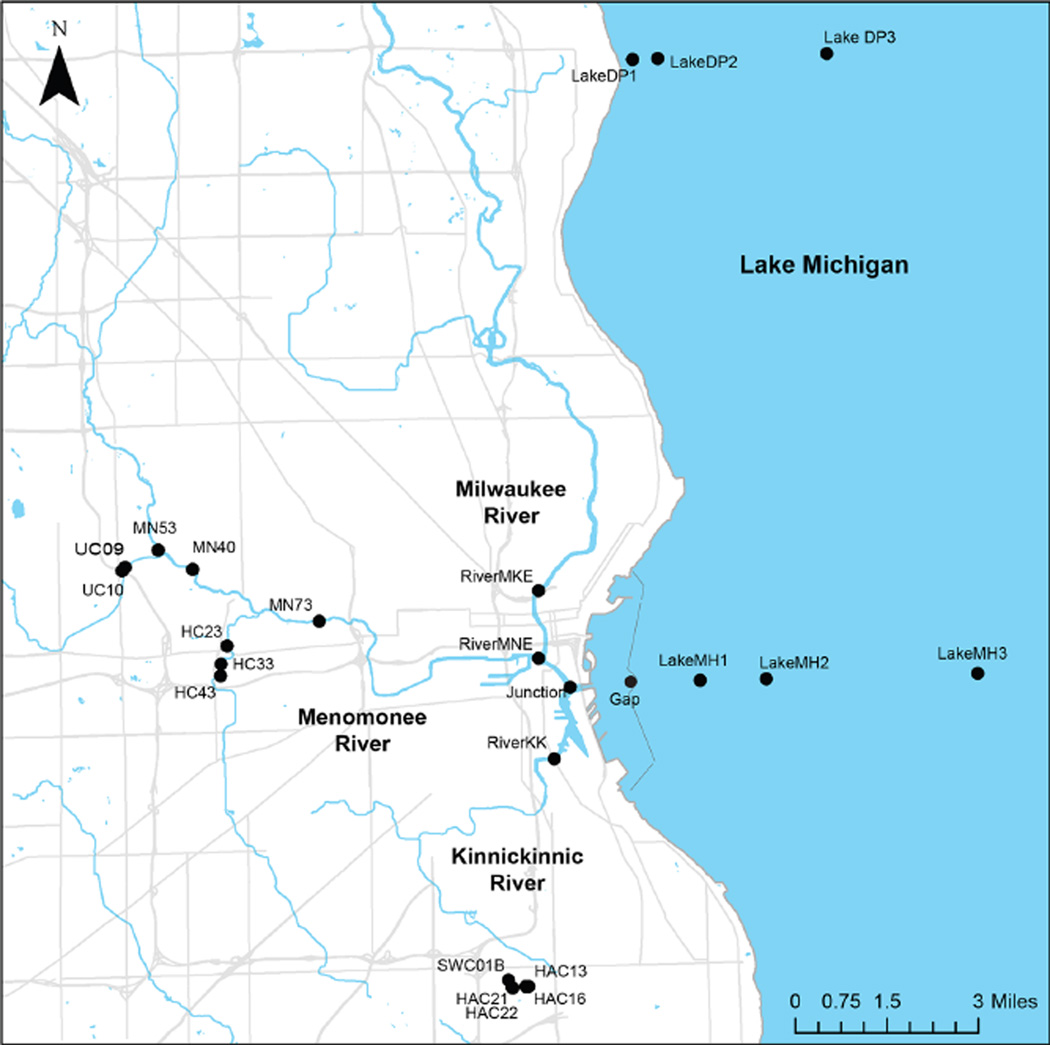
Figure 1. Map of sampling sites from Milwaukee stormwater outfalls, rivers, harbor and Lake Michigan.
Our study area included stormwater outfalls and pipes, and surface water sites on three rivers within metropolitan Milwaukee and in Lake Michigan. The Kinnickinnic River, Menomonee River, and Milwaukee River converge in the Milwaukee estuary (Junction) just prior to discharging to Lake Michigan through the main opening in the harbor breakwall (Gap). A total of six lake sites were sampled offshore from the Milwaukee Harbor and Doctor’s Park. Stormwater outfall samples were collected from Holmes Avenue Creek, Wilson Park Creek, Honey Creek, Underwood Creek, and Menomonee River.
doi: 10.12952/journal.elementa.000064.f001

