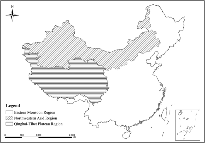
Figure 1. Illustrative map of the Eastern Monsoon Region (EMR), the Northwestern Arid Region (NAR), and the Qinghai-Tibetan Plateau Region (QTR) in the terrestrial and inland water ecosystems of China.

The inset in the right bottom of the figure shows the southern boundary of China, including all islands in the South China Sea. Data on national territory were from the National Administration of Surveying, Mapping and Geoinformation of China (http://www.sbsm.gov.cn/). The map was created using the software Arc GIS 9.3 which was purchased from ESRI-China (http://www.esrichina-bj.cn/) by Nanjing Institute of Environmental Sciences affiliated to the Ministry of Environmental Protection of China, with user number C-801668.
