
Fig. 1.
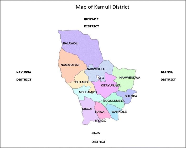
Map showing Kamuli District. It lies at an average altitude of 1083 m above sea level and extends 00–56′ North/330–05′ East up to 010–20′ North/330–15′ East. It has a total land area of 1622 km2 and 62.64 km2 (3.9 %) of water. The District is among the most underdeveloped and poor in Uganda (Ministry of finance, planning and economic development (MOFPED), 2003)