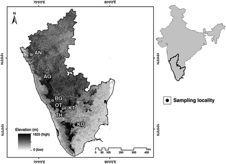
Figure 1.
Sampling locations. Physical map of the eight sampling localities in the Western Ghats. The mountain range is represented by the high elevation regions along the western coast. Sampling localities include seven villages sampled in this study (name of the forest mentioned in brackets): AN—Joida (Anshi National Park), AG—Agumbe (Agumbe Rainforest), BG—Kutta (Brahmagiri Wildlife Sanctuary), OT—Ooty (Ooty Reserve Forest), KT—Kotagiri (Longwood shola), TH—Thiashola tea plantation (Thiashola), KD—Kodaikanal (Vattakanal shola).

