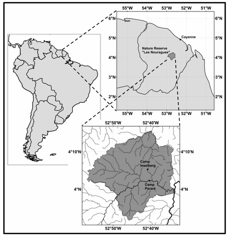
Figure 1.
Location of the research camps ‘Inselberg’ and ‘Saut Pararé’ in the ‘Les Nouragues’ nature reserve; lines in the insert of the nature reserve represent the drainage system, with the rivers ‘Approuague’ (major) and ‘Arataye’ (minor) in bold. Outline of the nature reserve and drainage system data were provided by the French National Forest Agency (Office National des Forêts, ONF), the world borders dataset was obtained from www.thematicmapping.org under the creative commons attribution-share alike license 3.0.

