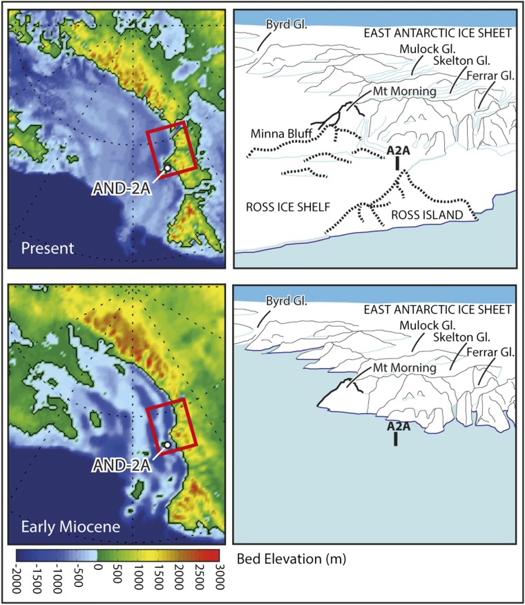
Fig. S1.
(Top Left) Ross Sea regional topography (ice sheet removed). Red square indicates area of sketch at right, which shows major geographic and topographic features in the region of the AND-2A drill hole (dashed lines indicate Late Neogene volcanic features). (Bottom Left) Miocene topography is based on a linear interpolation between an Eocene/Oligocene reconstruction (49) and an isostatically rebounded version of BEDMAP-2 (22). Sketch at right shows reconstruction of early Miocene topography in the region of the drill site.

