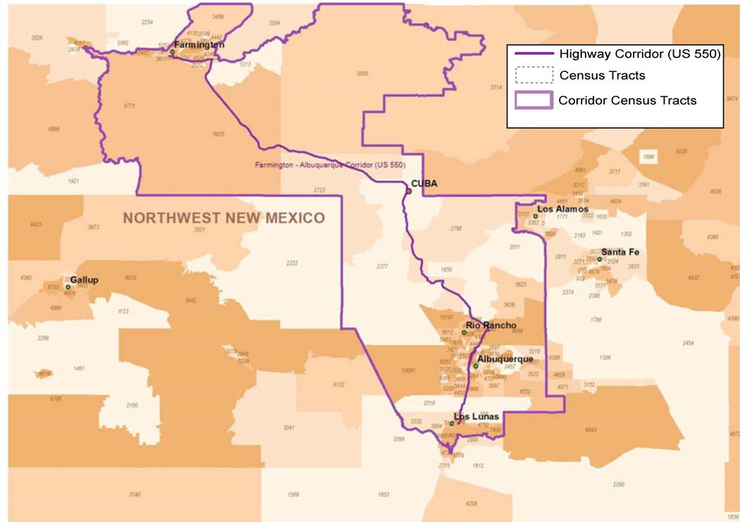
Figure 1.
US Highway 550 Corridor Map
Note.
Map identifies the population of potential walkers and hikers with convenient access to the proposed Cuba segment of the Continental Divide National Scenic Trail. More than 965,000 people live in the 217 identified census tracts.
Source: Thomas N. Scharmen, MA, MPH, Epidemiologist, Office of Community Assessment, Planning and Evaluation, Public Health Division, New Mexico Department of Health and The New Mexico Community Data Collaborative, Mapping Social and Health Conditions in New Mexico Neighborhoods: http://nmcdc.maps.arcgis.com/home/

