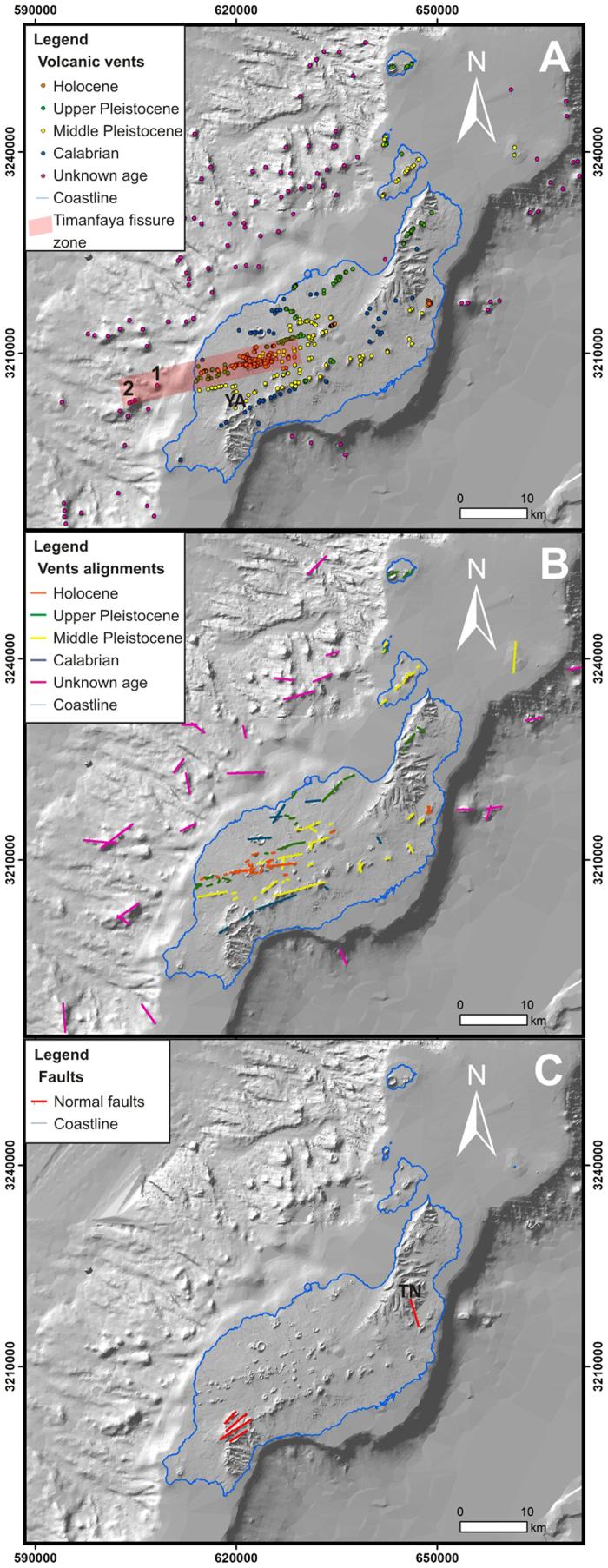
Figure 2. Structural data of Lanzarote and Chinijo Islands considered for the susceptibility analysis.

(A) Volcanic vents; 1 and 2 indicate the location of submarine volcanic cones from the Timanfaya eruption; YA, location of Yaiza village. (B) Vent alignments. (C) Faults; TN, location of Teneguime valley. Maps created with Matlab R2007A (http://es.mathworks.com/products/matlab/).
