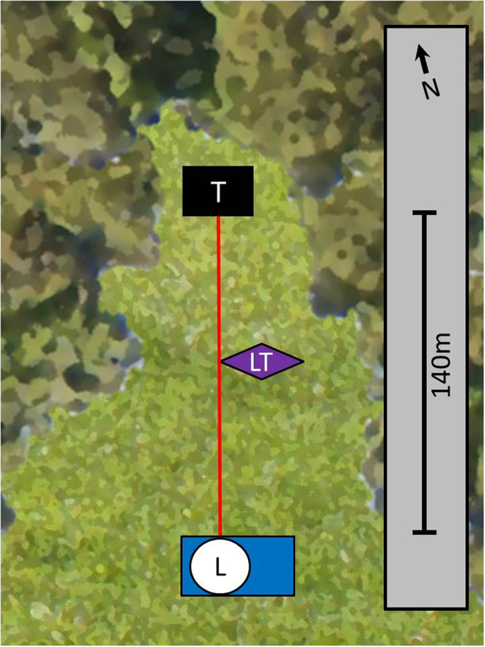
Figure 1. Schematic overview of the Stensoffa study site in southern Sweden.

The label L shows the position of the lidar system, T of the termination box, and LT shows the position of the light trap. The red line denotes the area over which the laser beam was directed, and covered a transect that was approximately 140 m long. The dark green area denotes the forest and the light green area the meadow.
