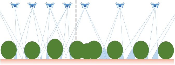
Fig. 1.
Considerations for using small aerial drones for vegetation surveys. A schematic of the predicted effects of aerial imaging density on shadowing (gaps) due to trees and shrubs for the orthomosaic and digital surface model (DSM) generated from aerial surveys. Lower densities of aerial images results in larger areas of image shadows around closely spaced shrubs or trees.

