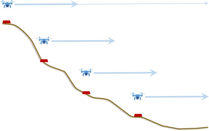
Fig. 3.
Strategies for aerial surveys using small drones in rough terrain. Starting from the highest elevation, the entire area should be imaged at low density (thin arrow). Stratified surveys at each elevation are indicated by thicker arrows. Note that the elevation of each survey is constrained and that there is considerable overlap among surveys.

